Celata Tech Inc. is a company headquartered in the USA and its R&D center is strategically located in Sri Lanka. We are an extraordinary technology company taking you beyond, with purpose-built proprietary innovations to move the world forward by providing state of the art solutions. We provide solutions ranging from Geographical Intelligence Platform solutions, data & AI Driven solutions to any solution which serves the requirements of our clientele. Since its inception from October 2018, CelataTech excelled in gaining the trust of its customers and reputation in the GIS domain as the number One innovative Geographical based solutions provider.
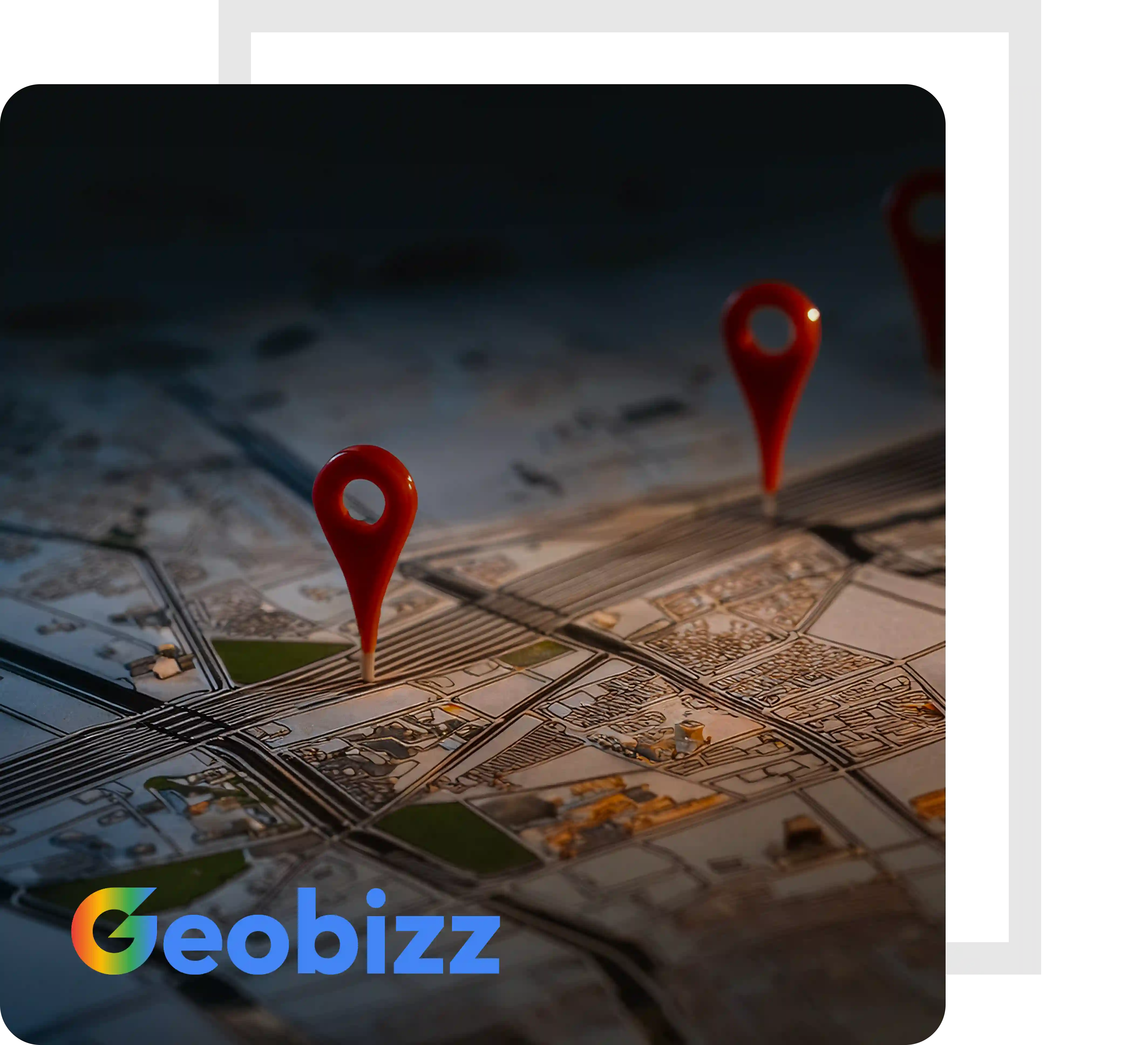

GeoBizz is a cloud-based location intelligence and mobile engagement platform developed by Celata Tech. The data collected via GeoBizz APIs is synced with Google Maps on top of the GeoBizz platform and provide geospatial statistical analysis allowing businesses to evaluate the geographical patterns and trends that they are looking for in order to make more informed business decisions. With Celata's GeoBizz platform, any business can ensure that the right information reaches the right person at the right time, allowing them to make the best possible data-driven decision.
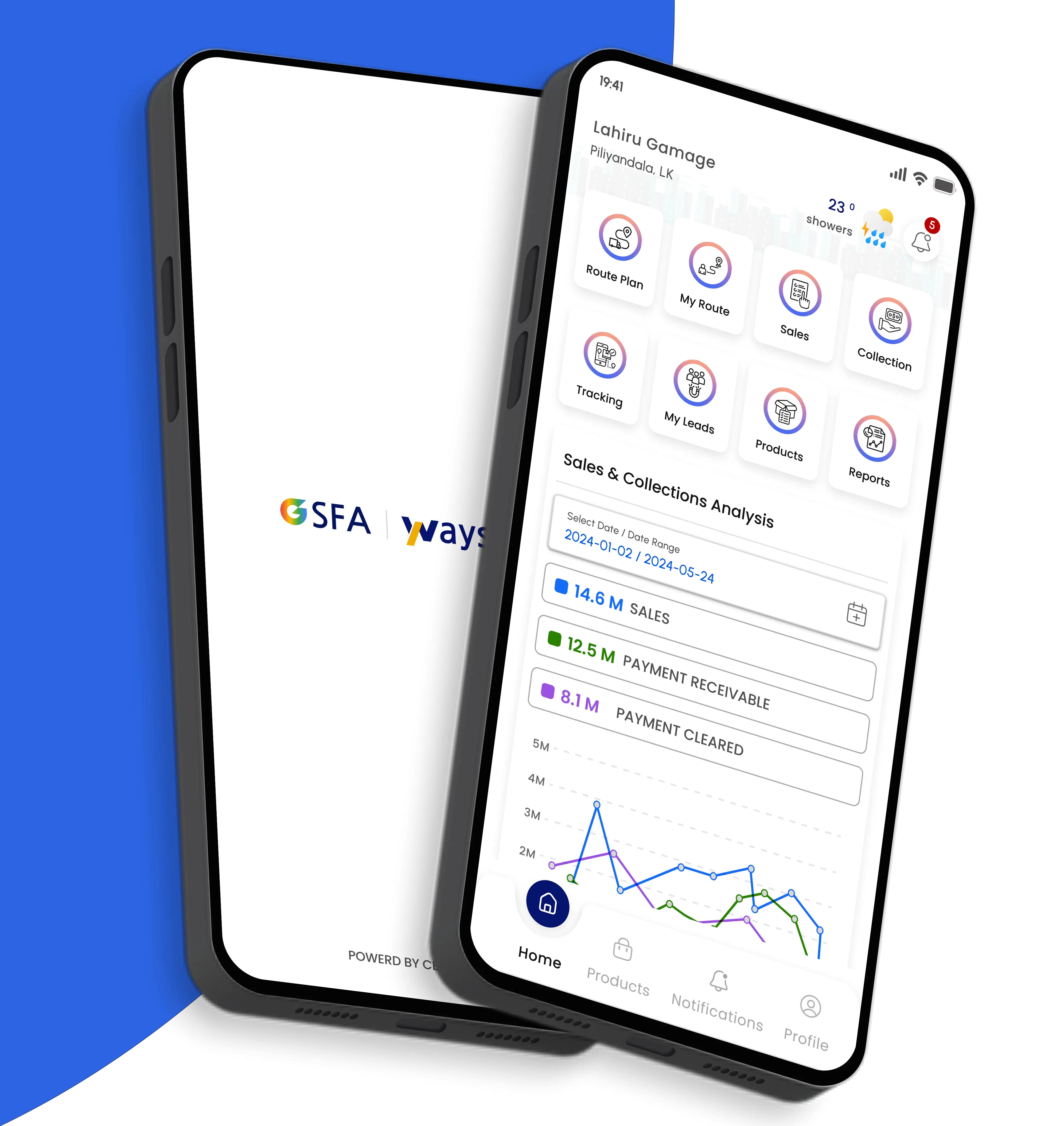
GeoBizz Sales Force Automation Mobile App revolutionizes how businesses manage their
on-the-ground sales teams. By offering a centralized platform to plan, monitor,
and execute field activities, sales managers gain complete visibility into daily
operations. The app eliminates guesswork with live tracking, automated attendance,
and digital reporting, ensuring accountability and real-time decision-making.
This level of transparency helps leaders identify bottlenecks and drive a performance-oriented
culture.
SFA enhances field sales productivity with intelligent route optimization, automated
scheduling, and centralized task management. Sales reps save time with streamlined
travel paths and instant access to customer data, while managers efficiently monitor
and adjust team activities in real time. By enabling personalized service, instant
order capture, and seamless follow-ups, the platform boosts customer satisfaction
and drives higher sales performance.